Seabed 2030: Progress and Gaps in Global Ocean Mapping
How much of the seafloor has actually been mapped at modern resolution
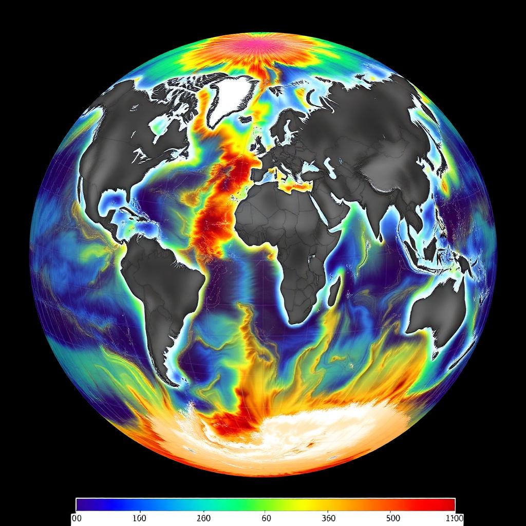
As of early 2026, a little more than a quarter of the global seafloor has been mapped at modern high-resolution standards through coordinated efforts such as the Seabed 2030 project. The remaining three quarters are known only through low-resolution satellite gravity estimates, which infer seafloor shape from tiny variations in the sea surface caused by the gravitational pull of underlying features. These estimates are useful for large-scale geology but too coarse for most biological or engineering applications.
Progress has been uneven. Coastal shelves, major shipping lanes, and areas covered by long-standing national mapping programs are relatively well characterized. Large stretches of the Southern Ocean, parts of the Arctic, and much of the deep central Pacific and Indian Oceans remain poorly mapped at high resolution. Physical access, weather windows, and political coordination all play roles in determining where survey work happens.
The Seabed 2030 project aims to complete high-resolution coverage of the entire ocean floor by the end of the decade. It coordinates contributions from governments, industry, academic institutions, and philanthropic partners. Much of the recent progress has come from combining underused data. Commercial vessels, research cruises, and even some naval assets contribute bathymetric records that would otherwise sit in silos, and standardized formats and open data licenses have made integration much easier.
Autonomous surface and underwater vehicles are becoming increasingly important. Long-duration autonomous surface vessels can survey remote regions with minimal support, while autonomous underwater vehicles provide close-to-seafloor resolution in areas where surface-based sonar loses accuracy. Both classes of vehicle are still expensive and require careful logistics, but their per-square-kilometer cost is falling steadily as designs mature.
High-resolution bathymetry has direct value for many communities. Fisheries managers use it to identify essential fish habitat. Cable and pipeline operators rely on it for route planning. Tsunami and earthquake models use it to simulate wave propagation. Marine biologists use it to select survey sites and predict habitat suitability. Every improvement in map coverage translates into more effective work across all these domains.
Nonetheless, mapping alone is not enough. High-resolution bathymetry describes shape, not biology or geology. Follow-on surveys with cameras, sensors, and sampling equipment are needed to convert a map into an understanding of what actually lives on and beneath the seafloor. Balancing broad mapping campaigns with targeted scientific surveys is one of the ongoing management challenges facing the deep-sea community.
There is also a growing recognition that mapping is not a neutral activity. Detailed knowledge of the seafloor is valuable for both conservation and extraction. Some environmental groups have argued that detailed maps of resource-rich areas may accelerate mining or fishing in places where scientific understanding is still limited. Others counter that better maps enable better regulation. The community has generally settled on continued mapping combined with strong public access to the resulting data.
For readers new to the topic, the key takeaway is nuanced. The old claim that we know more about the surface of Mars than about our own ocean floor is technically true only if we compare surface-only maps. When we combine bathymetric coverage at various resolutions, the ocean is actually one of the most extensively surveyed environments on Earth. What remains sparse is high-resolution coverage of the deep and remote regions, and it is precisely there that the biggest scientific and management questions still lie.
Global efforts to map the entire seafloor at high resolution have made substantial progress but remain uneven across regions and depths.
Continue reading
 Deep Sea Latest News
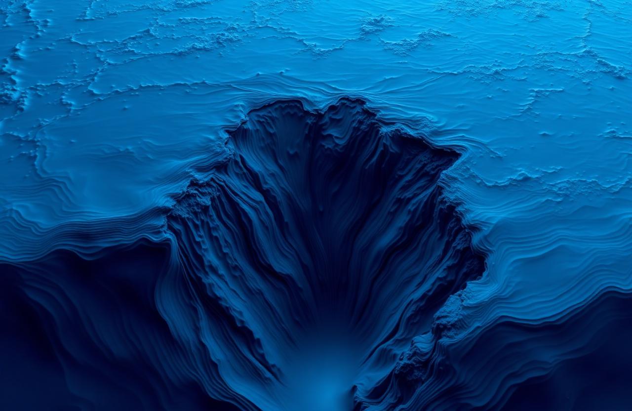
New High-Resolution Bathymetry Released for the Mariana Trench
A multinational survey publishes the sharpest map yet of the deepest place on Earth
 Deep Sea Latest News
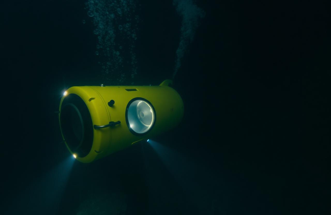
New Certification Rules Announced for Crewed Deep-Sea Submersibles
International bodies coordinate on stricter inspection and depth-rating standards
 Deep Sea Latest News
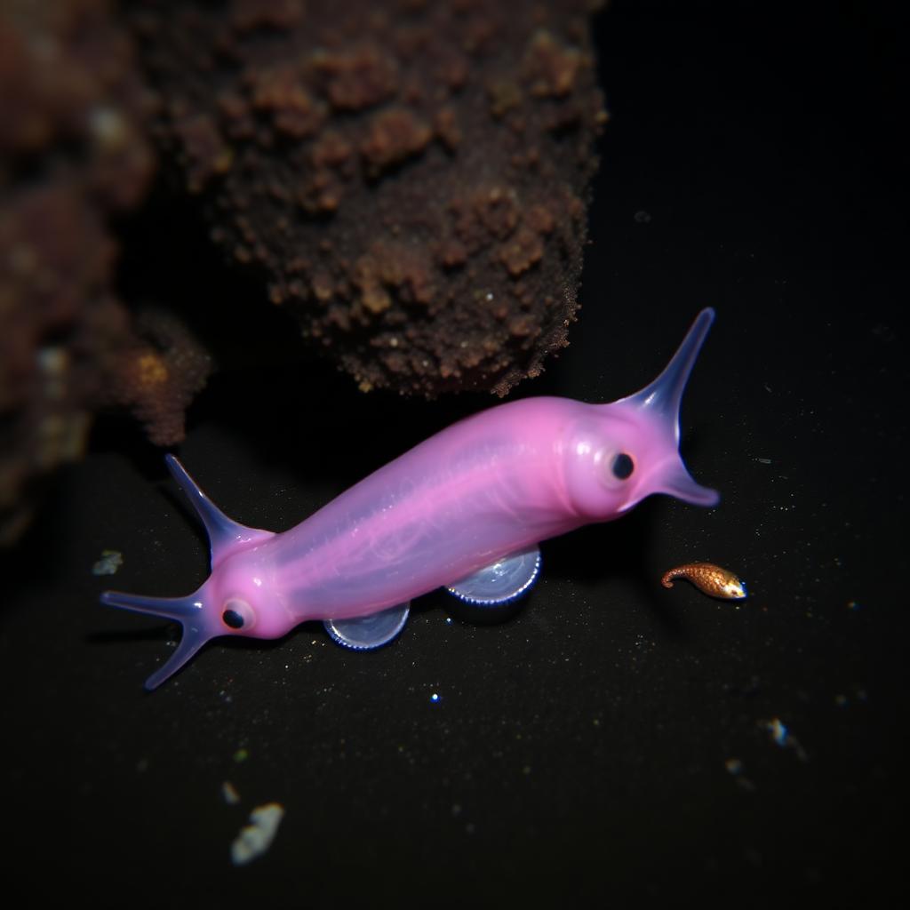
Snailfish Set New Depth Record in the Izu-Ogasawara Trench
Video captured at 8,336 meters extends the known depth range of vertebrate life