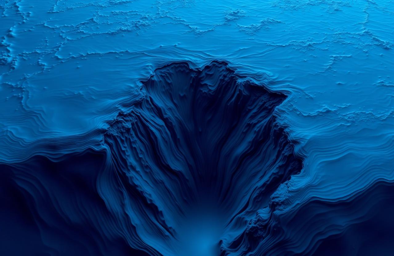
New High-Resolution Bathymetry Released for the Mariana Trench
A multinational survey publishes the sharpest map yet of the deepest place on Earth
A multinational research consortium has released a new bathymetric dataset covering the southern Mariana Trench, including the Challenger Deep, at thirty-meter horizontal resolution. The survey combined multibeam data from four research vessels, autonomous underwater vehicle dives conducted between 2023 and 2025, and reprocessed archival sonar records collected over the previous two decades. The result is the sharpest publicly available map of the deepest region on Earth.
The Mariana Trench is a subduction zone in the western Pacific where the Pacific Plate slides beneath the smaller Mariana Plate. Its southern end contains the Challenger Deep, a series of narrow basins reaching depths in excess of ten thousand nine hundred meters. The exact deepest point has been debated for decades because measurements taken with different instruments and reference tide models can differ by several meters. The new dataset does not resolve that debate outright, but it constrains the deepest point to within approximately five meters and provides a shared reference surface that other researchers can compare against.
Beyond depth records, the survey uncovers geological features that were previously undocumented. Several stepped terraces along the eastern wall of the trench appear to record repeated slump events, in which large sections of the wall have detached and slid downward. A previously unmapped ridge oriented north to south crosses the middle basin and may separate distinct sediment environments. The trench floor is also broken into a series of narrow depressions rather than forming a single continuous channel, which has implications for how sediment and organic matter accumulate at the bottom.
The scientific value of a high-resolution map goes beyond geology. Hadal ecologists have long argued that trench communities are strongly shaped by topography because narrow basins can trap sinking organic matter and create local hotspots of biological activity. With the new map, ongoing sampling programs can select landing sites for baited traps and sediment cores based on features that were invisible in earlier data. Early results already suggest that amphipod densities differ significantly between adjacent basins that are only a few kilometers apart.
The dataset is being released under an open license through the Nippon Foundation and GEBCO Seabed 2030 project, which aims to map the entire global ocean floor at high resolution by the end of the decade. Contributors include institutions from Japan, the United States, China, the United Kingdom, and the Federated States of Micronesia. Independent research groups will be able to download the data, integrate it with their own observations, and publish derived products without additional licensing.
Field logistics for the survey were significant. Long-range autonomous underwater vehicles operated on multi-day missions, mapping strips of seafloor at low altitude while surface vessels maintained precise navigation references. Data quality control involved cross-checking overlapping tracks and correcting for sound-speed variations in the deep water column. The final gridded product represents thousands of hours of ship time and processing effort.
Deep-sea researchers are already using the new map for planning follow-on work. Proposed 2027 expeditions include repeated sampling along a depth transect on the trench wall to test whether community composition changes smoothly with pressure or shifts at specific thresholds. Other groups plan to use the map as a baseline for seismic monitoring of seafloor deformation, since the trench area is one of the most seismically active regions on the planet.
For public audiences, the release is a reminder that the deep ocean is not a uniform blank space but a landscape as varied as any mountain range on land. Ridges, basins, terraces, and channels shape where animals live, where sediments accumulate, and where earthquakes originate. Each new high-resolution map converts a piece of that landscape from imagination into evidence.
A newly released bathymetric dataset covers the Challenger Deep and adjacent basins at 30-meter horizontal resolution, revealing previously uncharted terraces and slump features.
Continue reading
 Deep Sea Latest News
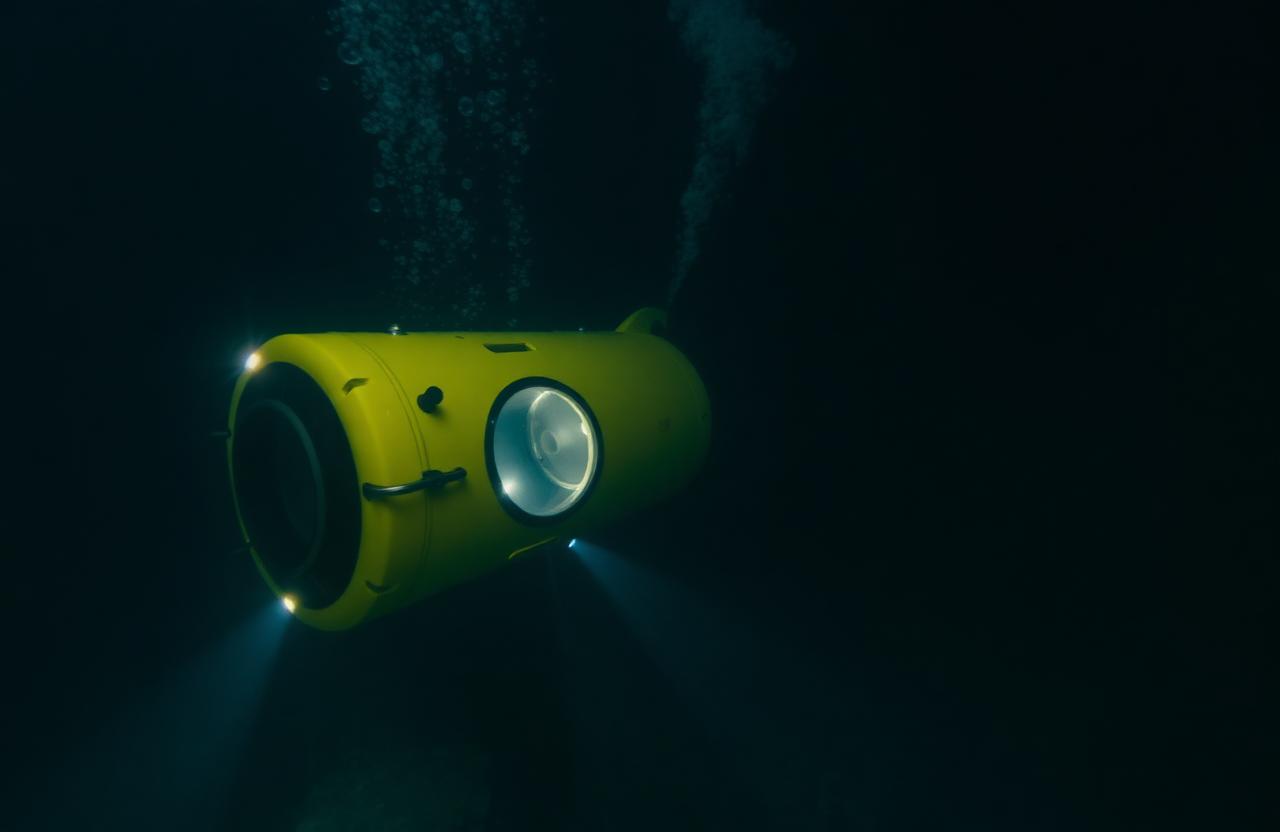
New Certification Rules Announced for Crewed Deep-Sea Submersibles
International bodies coordinate on stricter inspection and depth-rating standards
 Deep Sea Latest News
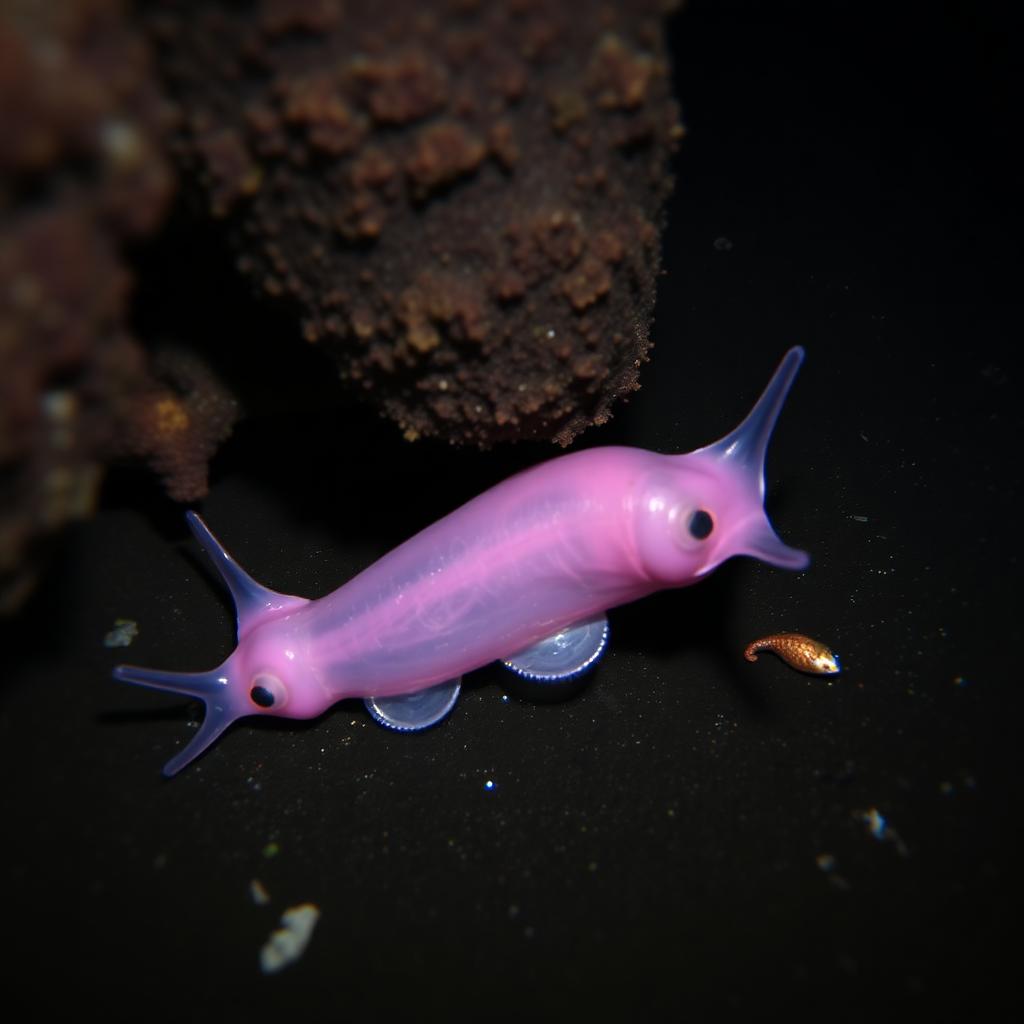
Snailfish Set New Depth Record in the Izu-Ogasawara Trench
Video captured at 8,336 meters extends the known depth range of vertebrate life
 Deep Sea Latest News
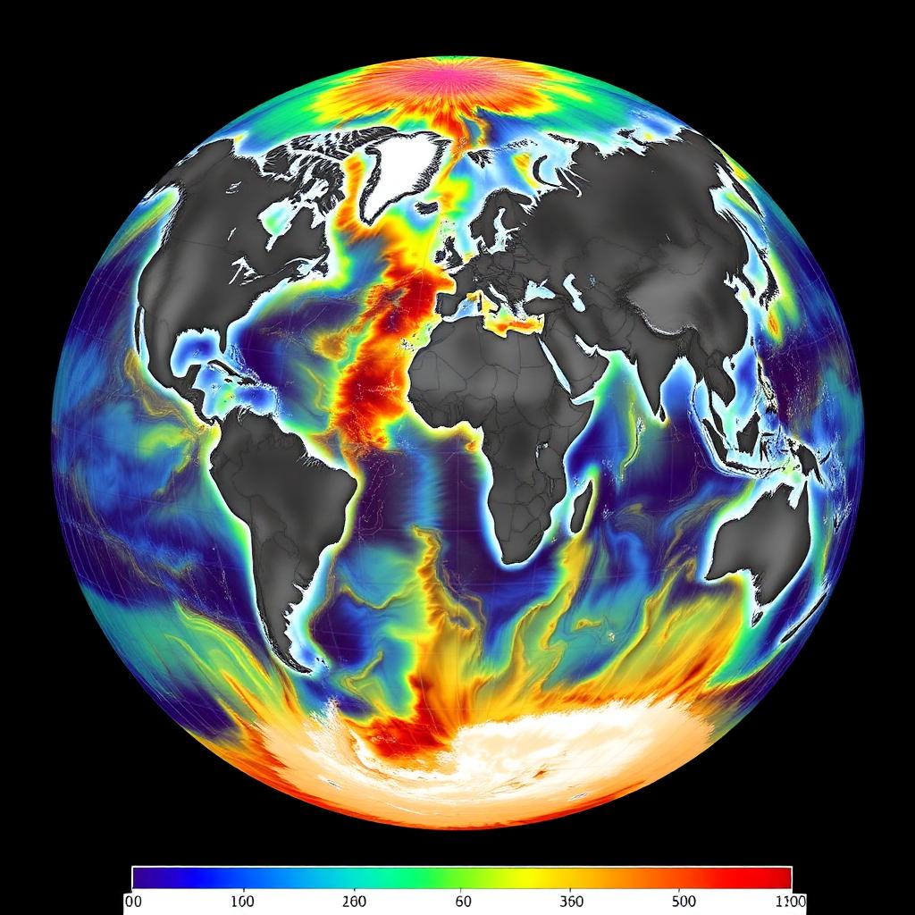
Seabed 2030: Progress and Gaps in Global Ocean Mapping
How much of the seafloor has actually been mapped at modern resolution